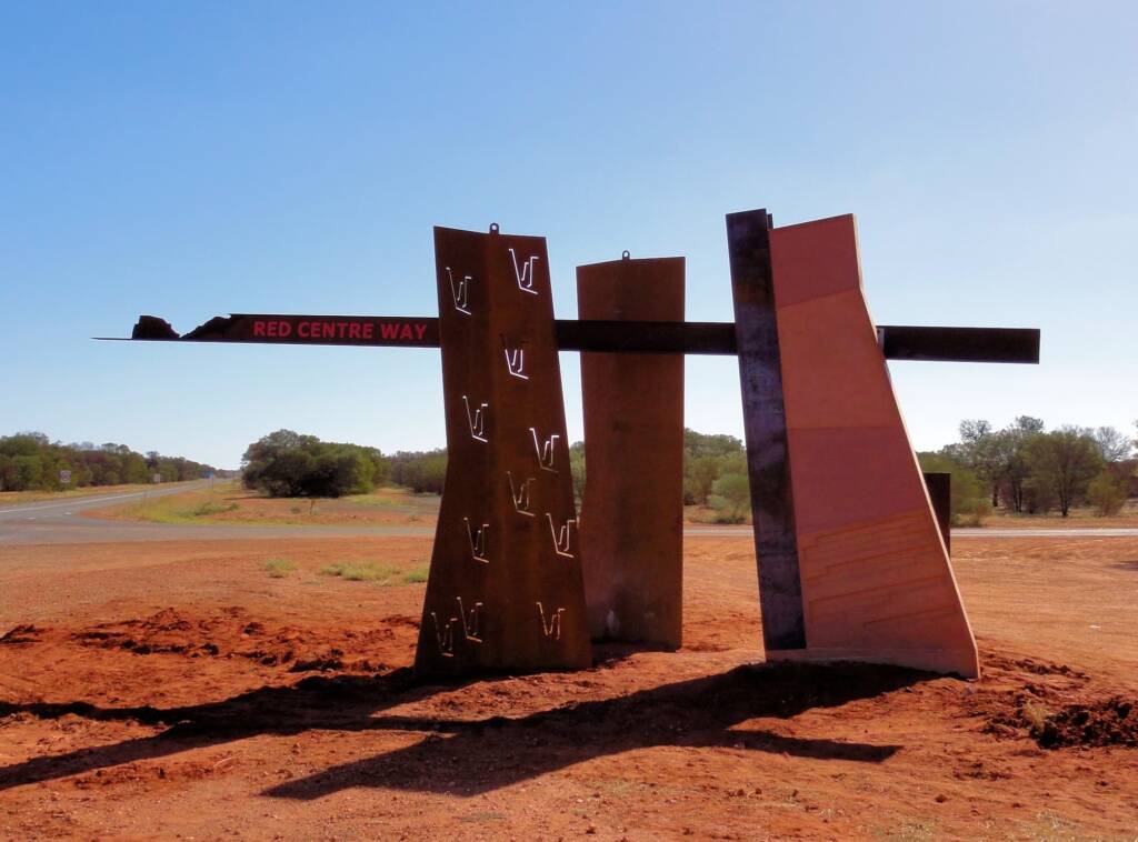
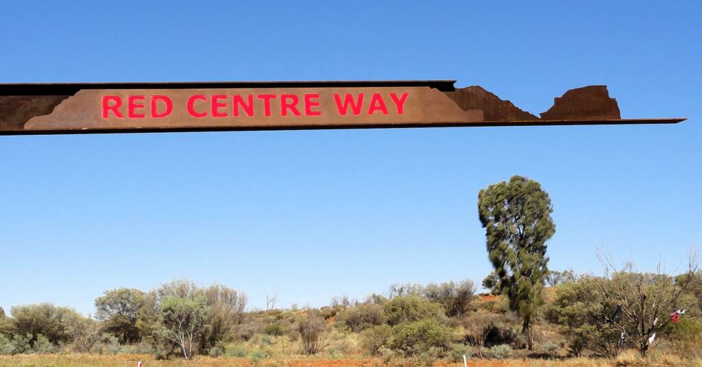
Red Centre Way DriveRed Centre Way Distance Mereenie Loop
The ‘Red Centre Way’ is a road network that takes in the Namatjira Drive, Mereenie Loop, Luritja Road and the Lasseter Highway, providing a unique tourism drive, where visitors can sample parts of a wonderful road trip or stay for longer to take it all in and experience a unique taste of Central Australia.
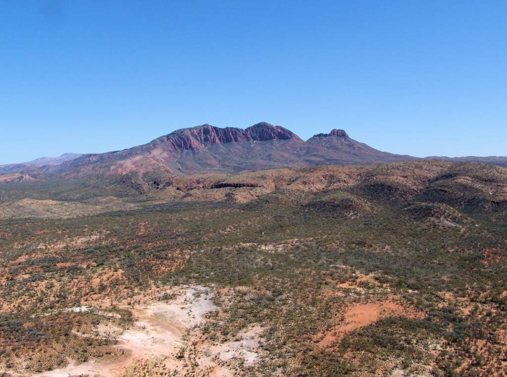
Travellers can start from Alice Springs or Uluru and travel in either direction, through the West MacDonnell Ranges and the West MacDonnell National Park, Hermannsburg, Kings Canyon in Watarrka National Park, and Uluru-Kata Tjuta National Park.
Red Centre Way Distance
Whether you are starting from Uluru or Alice Springs, both connected via the sealed Stuart Highway and the Lasseter Highway, the Red Centre Way allows a unique drive to experience outback Central Australia.
If you have landed in Alice Springs and wish to start from Uluru or vice versa, the sealed drive of the Stuart / Lasseter Highways provides a number of stop-offs along route to enjoy, especially those who are self-drive. Of course there are a number of tour operators who can also take you along this route, most providing great commentary on-route.
Once you are at your destination, you can then plan your travel via the ‘Red Centre Way’.
Much of the route is sealed road, except for the Mereenie Loop Road that connects to Namatjira Drive and the side road taking in Tnorala and Redbank Gorge, which are still unsealed and requires off road 4WD vehicles.
• Alice Springs to Glen Helen
The Red Centre Way has two options from Alice Springs to Glen Helen.
| Distances from Alice Springs to Glen Helen to Kings Canyon | |
|---|---|
| Km | |
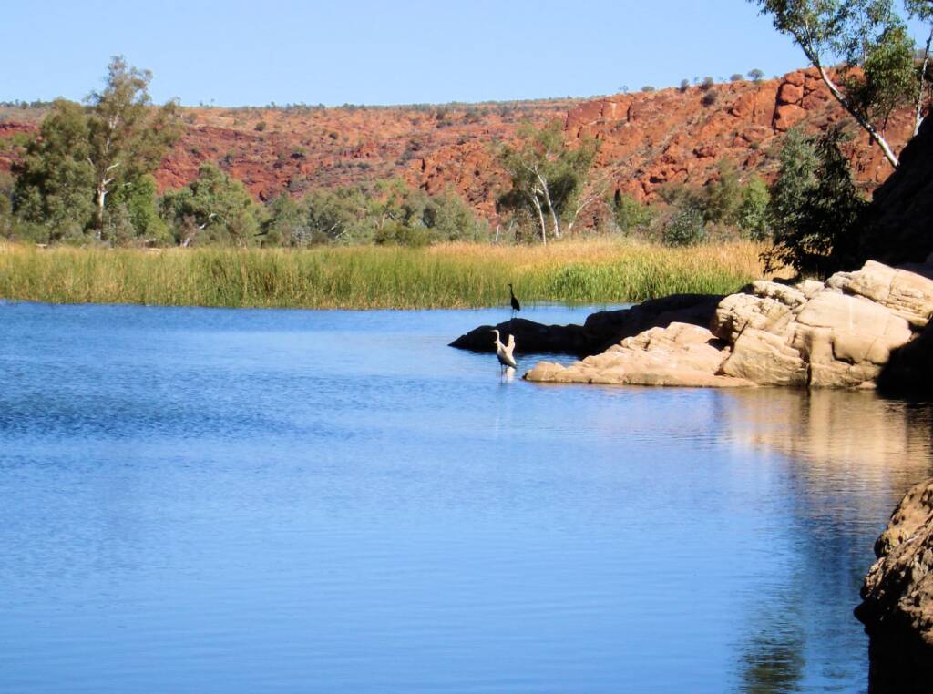
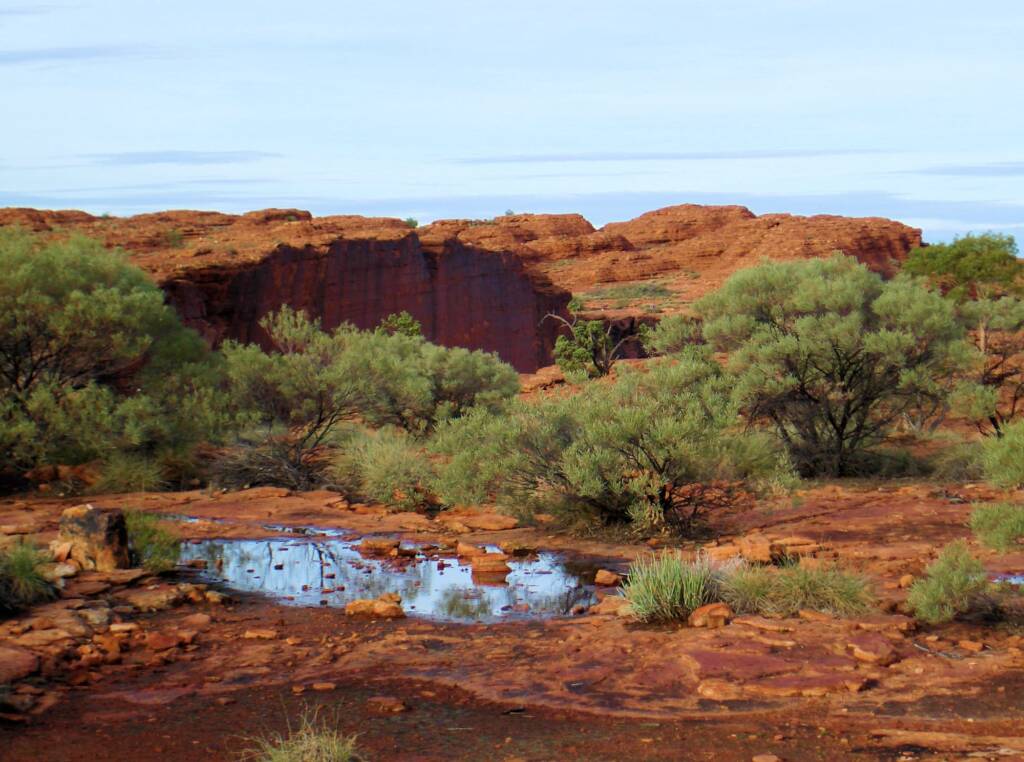
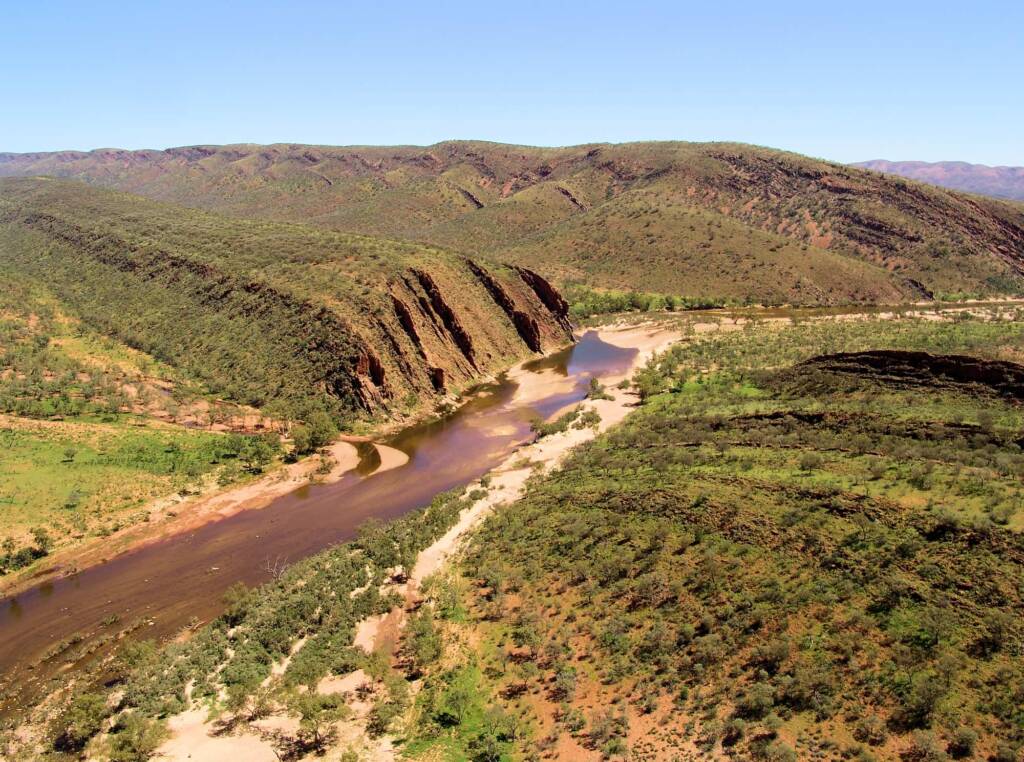
| Alice Springs to Glen Helen Option 1 — As you head west from Alice Springs along the West MacDonnell Range, you can explore the gaps, chasm, gorges and waterholes along the route. This of course will add extra kilometres, but make for a wonderful drive as you take in Simpsons Gap, Standley Chasm, Ellery Creek Big Hole, Serpentine Gorge, Ochre Pits, Ormiston Gorge and then to Glen Helen. | 130 + |
| Alice Springs to Glen Helen Option 2 — Take the Larapinta Drive all the way to the historic Hermannsburg, once home to the famous Aboriginal artist Albert Namatjira. Of course you can also stop in via Simpsons Gap and Standley Chasm on route. As you leave Hermannsburg, this part of the route will require a 4WD and Mereenie Loop permit, taking you on pass the turnoff to Watarrka National Park, Tnorala (Gosse Bluff) Conservation Reserve, Tylers Pass Lookout, Redbank Gorge, Mount Sonder Lookout and then to Glen Helen. Stop off at any or all the attractions of course will add extra kilometres, but make for a wonderful drive. | 270 + |
Distances given are only approximation, they should be verified with the appropriate maps.
• Glen Helen to Kings Canyon and Uluru
| Distances from Glen Helen to Kings Canyon and Uluru | |
|---|---|
| Km | |
| Glen Helen to Kings Canyon — From Glen Helen you continue on along the unsealed road. On-route can stop off at Redbank Gorge and Tnorala (Gosse Bluff) Conservation Reserve. A place of great cultural significance to the Western Arrernte Aboriginal people, it is also of great scientific interest. You then continue on along the Mereenie Loop Road (permit is required) to Kings Canyon and Watarrka National Park. | 260 + |
| Kings Canyon to Uluru — After enjoying the highlights of the canyon through a number of walks that can take in the Lost City and the Garden of Eden, you continue on along the Luritja Road, pass Kings Creek, and taking the Lasseter Hwy to Uluru-Kata Tjuta National Park. | 310 + |
| Kings Canyon / Watarrka National Park to Glen Helen — This is an unsealed road and you can take in Redbank Gorge and Tnorala (Gosse Bluff) (permit is required). | 260 + |
| — Kings Canyon is accessible from Alice Springs, via the sealed road Stuart Highway, Lasseter Hwy and Luritja Road. | 470 + |
| — Kings Canyon via Ernest Giles Road – 4WD vehicle only. | 318 + |
| — Kings Canyon via the Mereenie Loop – 4WD vehicle only (permit is required). | 328 + |
Distances given are only approximation, they should be verified with the appropriate maps.
• Alice Springs to Uluru via Stuart / Lasseter Highways
| Distances from Alice Springs to Glen Helen to Kings Canyon | |
|---|---|
| Km | |
| Rainbow Valley Conservation Reserve — about 75 km south of Alice Springs along the Stuart Highway, take the left turn onto unsealed road. 4WD recommended. | 97 |
| Stuarts Well Roadhouse — a great place to stop and spend an hour or so, or maybe stay overnight. There is a general store for basic supplies and fuel. You can also get take-away food, fresh home cooked meals and a selection of souvenirs and Aboriginal art. It is also home to Dinky the Singing Dingo. | 90 |
| Henbury Meteorite Conservation Reserve / Craters — via Stuart Highway, then turn right into the Ernest Giles Road (this part is accessible by 2WD vehicle into the Reserve, although the road conditions can change to impassable. The rest of the road through to Watarrka National Park is 4WD only). | 140 |
| Erldunda — south of Alice Springs via Stuart Highway. Fuel, provision, accommodation. It is also the intersection where travellers heading to Uluru, turn right onto the Lasseter Highway. | 200 |
| Mount Ebenezer Roadhouse — turning off from the Stuart Highway onto the Lasseter Highway, and some 56 km later is the Mt Ebenezer Roadhouse, providing fuel, food, accommodation and an art gallery. | 256 |
| Mount Connor (the lookout on Lasseter Hwy) — located on private property, accessible via tours from Curtin Springs, Mt Connor is approximately 115 km east of Uluru. | 340 |
| Curtin Springs — south-west of Alice Springs via the sealed road Stuart Highway and Lasseter Highway. | 355 |
| Yulara Tourist Village — south-west of Alice Springs, 194 km along the Stuart Highway, then right on to the Lasseter Highway. | 445 |
| Uluru (Ayers Rock) / Uluru-Kata Tjuta National Park — located within Uluru-Kata Tjuta National Park and approximately 20 km beyond the Yulara Tourist Village, via the sealed road Stuart Highway and Lasseter Highway. | 465 |
| From Uluru to Kings Canyon | 310 |
| Kata Tjuta (the Olgas) — Kata Tjuta is 32 km west of Uluru, via the sealed road Stuart Highway, Lasseter Highway and Kata Tjuta Road. | 492 |
Distances given are only approximation, they should be verified with the appropriate maps.
Footnote & References
- Road Report NT, The Road Report Website provides up-to-date road condition information on all Government controlled roads, https://roadreport.nt.gov.au/home
- Road rest stops in NT, NT Government, https://nt.gov.au/driving/safety/road-rest-stops-in-nt