
Watarrka National Park & Kings CanyonAccommodation Attractions Fauna of Flora of Images
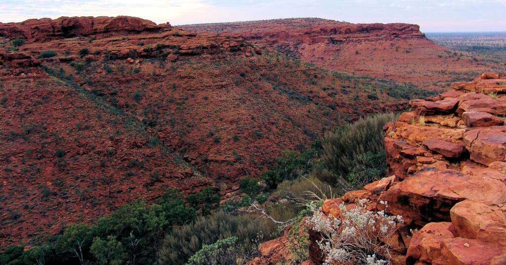
Kings Canyon is one of Watarrka National Park most famous features, with its ancient sandstone walls, that rises 100 metres up into a plateau of rocky domes. The Watarrka National Park includes the western end of the George Gill Range.
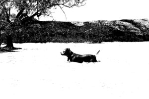
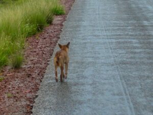
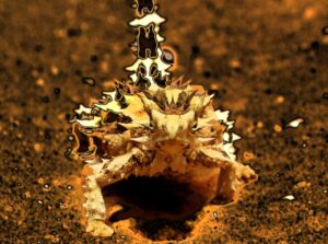
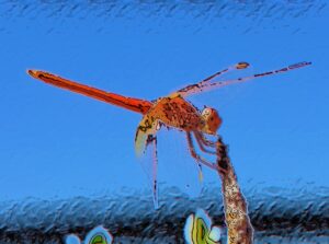
These towering vertical walls, rugged ranges, rockholes and gorges provide shelter to pockets of lush vegetation and wildlife, amidst a harsh arid desert landscape that surrounds the park. The park is an important conservation area, a natural refuge for the flora and fauna.
The spectacular nature of the park has occupied the hearts and minds of the traditional ‘Luritja’ custodians for more than 20,000 years.
Access
Located southwest of Alice Springs, the park can be reached via a number of routes:
- via the Stuart Highway, Lasseter Highway and Luritja Road (all are sealed roads).
- via the Stuart Highway, Ernest Giles Road (4WD essential) and Luritja Road.
- via Larapinta Drive through the West MacDonnell National Park. A Mereenie Loop pass is required to travel this route and is available from the Alice Springs Tourism Information Centre, Glen Helen Resort and Kings Canyon Resort.
This last route is part of the ‘Red Centre Way’, providing a unique way to experience Central Australia.
Accessible all year round, the park is popular in the cooler months of April to September. For those planning a visit, accommodation can be found within the park at the Kings Canyon Resort and Kings Creek Station.
Overnight camping in tents or campervans is not permitted in the National Park. There are commercial motel, resort and camping accommodation options. These are available at Watarrka Kings Canyon Resort and Kings Creek Station.
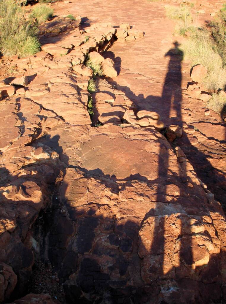
There are two walking tracks at the Canyon, offering visitors a way to experience first-hand the beauty of the Australian bush. There is also a walking track at Kathleen Springs, recommended for families and visitors with limited mobility. Kathleen Springs is located 21 km by road from Kings Canyon.
Check out the government website Watarrka National Park for information and downloadable documents.
Watarrka National Park > Attractions
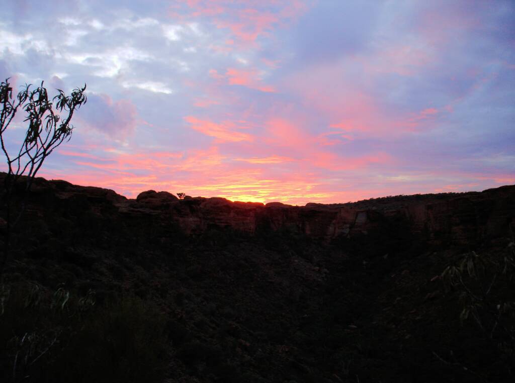
| SAFETY WARNING Drinking water is a key consideration and walkers are advised to carry at least 1 litre of water per hour per adult during summer (the Rim Walk takes approximately 3 to 4 hours). If you are planning extended walks during the warmer periods, then more water is required. For those planning to do the Rim Walk during the warmer and summer period (October – March), it is strongly advised to commence the walk as early as possible ie 5 am. Temperatures during summer can exceed 40 Degrees Celsius (104 Degrees Fahrenheit). |
Images © CK Leel
Watarrka National Park & Kings CanyonAccommodation Attractions Fauna of Flora of Images